
Walk a Lauderdale Lakes Street
A sound street search moves from one verified parcel to the next. Start at the Broward County Property Appraiser, where the street number and name resolve to a situs address. Situs means the physical taxable location. Copy the municipality, ZIP, folio, legal description, owner, mailing address, and current deed reference. If the property is a condominium, the unit folio is essential.
Each later source answers a different question. The map shows which parcel touches which. The assessment roll names titled owners. Deeds show transfers. Florida voter data can show registered voters after protected records are removed. City permit and code files name people connected with work or enforcement. Reverse directories provide a dated subscriber or occupant clue.
- Enter the full address in BCPA and open the exact parcel card.
- Save the folio and legal description, then center the same property in BCPA Maps and Aerials.
- Pan and click along the street, opening each parcel card rather than assuming number order.
- Follow the current deed reference into Broward Official Records and trace each seller as an earlier buyer.
- Add lawful public voter data, city permit or code files, and the correct year's reverse directory.
The Lauderdale Lakes street directory works best as an evidence chain. Label every name by role and date. An owner, grantor, applicant, voter, and phone subscriber may all be different people.
BCPA Fields for Lauderdale Lakes Streets
The BCPA property portal supports direct address and exact folio searches, plus owner, subdivision, sales, commercial, and land modes. City and ZIP filters help narrow a larger result set. Address is the best opening key. Folio is the best key once found because it points to the same legal parcel even if a street label or mailing city differs.
| Search control | Required | Street use |
|---|---|---|
| Owner Name | No | Find parcels held by a known person, trust, or entity |
| Address | No | Open the situs parcel by number and street |
| Folio Number | No | Retrieve one exact Broward parcel |
| Subdivision | No | Browse lots within a recorded plat |
| Sales Search | No | Filter transfers by date, price, and location |
| City or ZIP | No | Separate municipality from broad postal zones |
The BCPA parcel map and aerial viewer shown below lets a researcher center on an address, click a polygon, and pan along the same segment.
Parcel outlines and linked cards make a street-by-street pass more reliable than guessing from consecutive house numbers. Map boundaries still are not a certified survey or proof of title.
Lauderdale Lakes Street Record Coverage
Address-keyed sources overlap without becoming interchangeable. The table shows what each record can add to a Lauderdale Lakes street directory and what must remain uncertain.
| Address source | Person or place clue | Access channel | Main limit |
|---|---|---|---|
| BCPA roll | Owner, mailing and situs, exemption, sales | Free property search | Ownership is not a household list |
| BCPA and Broward GIS | Parcel shape, nearby lots, boundaries, aerials | Interactive map | Map is not title or survey |
| Official Records | Grantor, grantee, liens, plats, mortgages | 1978-present web index; older copies by request | Deeds may omit street address |
| Florida voter file | Public registered-voter fields | Monthly extract or SOE request | Not all residents; exemptions removed |
| City permit and code file | Owner, applicant, contractor, dates, status | Inquiry, ePermits, form, chapter 119 request | Named role may not be occupant |
| Reverse directory | Subscriber or occupant at a number | Main Library staff and holdings | Exact volume years need confirmation |
Use the online roll first, the parcel map second, and the recorded document third. If a portal has no old item, move to Broward Search and Copy Services, the city clerk, or Main Library Periodicals. Each channel documented for Lauderdale Lakes adds a different era or role.
Situs and Mailing Address Myth
The most common street directory error is treating BCPA's two address fields as the same fact. A situs address locates the taxed parcel. An owner mailing address is where the owner asks that assessment or tax correspondence go. It may be another residence, a business office, a trust contact, or a mail service. When situs and mailing match and a homestead exemption appears, owner occupancy is plausible for the assessment date, but it still does not identify relatives, roommates, or every other person there.
- Parcel
- A legally identified piece of land in the assessment roll.
- Situs address
- The physical address assigned to the taxable property.
- Plat
- A recorded map dividing a subdivision into lots and blocks.
- Criss-cross directory
- A directory ordered by street and number rather than surname.
Save both addresses exactly as displayed, then label them. This simple distinction keeps a tax-mail clue from becoming an unsupported residence claim.
Map Lauderdale Lakes Parcels
BCPA Maps and Aerials accepts an address or folio, then uses zoom, pan, and parcel selection to open a property card. Available layers can add parcels, aerial imagery, municipal boundaries, flood areas, zoning, or district context. A measure tool gives rough distance or area. It is not a legal survey. Clicking immediately left, right, and across a target address is more accurate than inferring adjacency from owner mailing addresses.
Condominiums need extra care. Several legal units can share one visible street point or overlap on a map. Open each unit folio and verify its unit legal description. A common street address is not enough. For a whole named street, pan in short segments and retain the folio for every card. The full street directory then has a stable parcel list before any name is added.
Note: Use GIS to answer where a parcel lies, and Official Records to answer who received or transferred legal title.
Deeds Along Lauderdale Lakes Streets
Broward deeds are indexed by names and land references, not as a simple street directory. Translate the address into folio and legal description first. The parcel card's recorded instrument reference can open the acquisition deed. In that deed, grantor means seller and grantee means buyer. To move backward, search the seller as an earlier grantee and confirm the same legal description.
The Broward recorded-document service pictured below describes the office that keeps deeds, mortgages, liens, plats, notices, judgments, and other instruments.
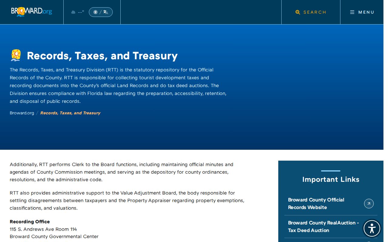
Online Official Records coverage is comprehensive from January 1, 1978. Search and Copy Services handles older items absent online. Research before Broward's 1915 creation may require Dade or Palm Beach predecessor land records.
Compare folio or legal description, party role, execution date, recording date, and linked instruments. A deed transfers title. It cannot establish when an owner moved in, who lived with them, or whether a listed mail address was a residence.
Lauderdale Lakes Permits by Address
City work records add a local layer that county property and deed systems do not. Lauderdale Lakes Quick Links points to Building Permit Inquiry, Broward ePermits OneStop, inspections, permit steps, a fee schedule, and a lien and permit search form. A permit can name an owner, applicant, contractor, project, date, and status. Code files can show violation address, inspection dates, disposition, and liens.
The city permit and property links appear in this captured page. When the live inquiry lacks an older case, submit the form or a focused public-record request using the exact address and folio.
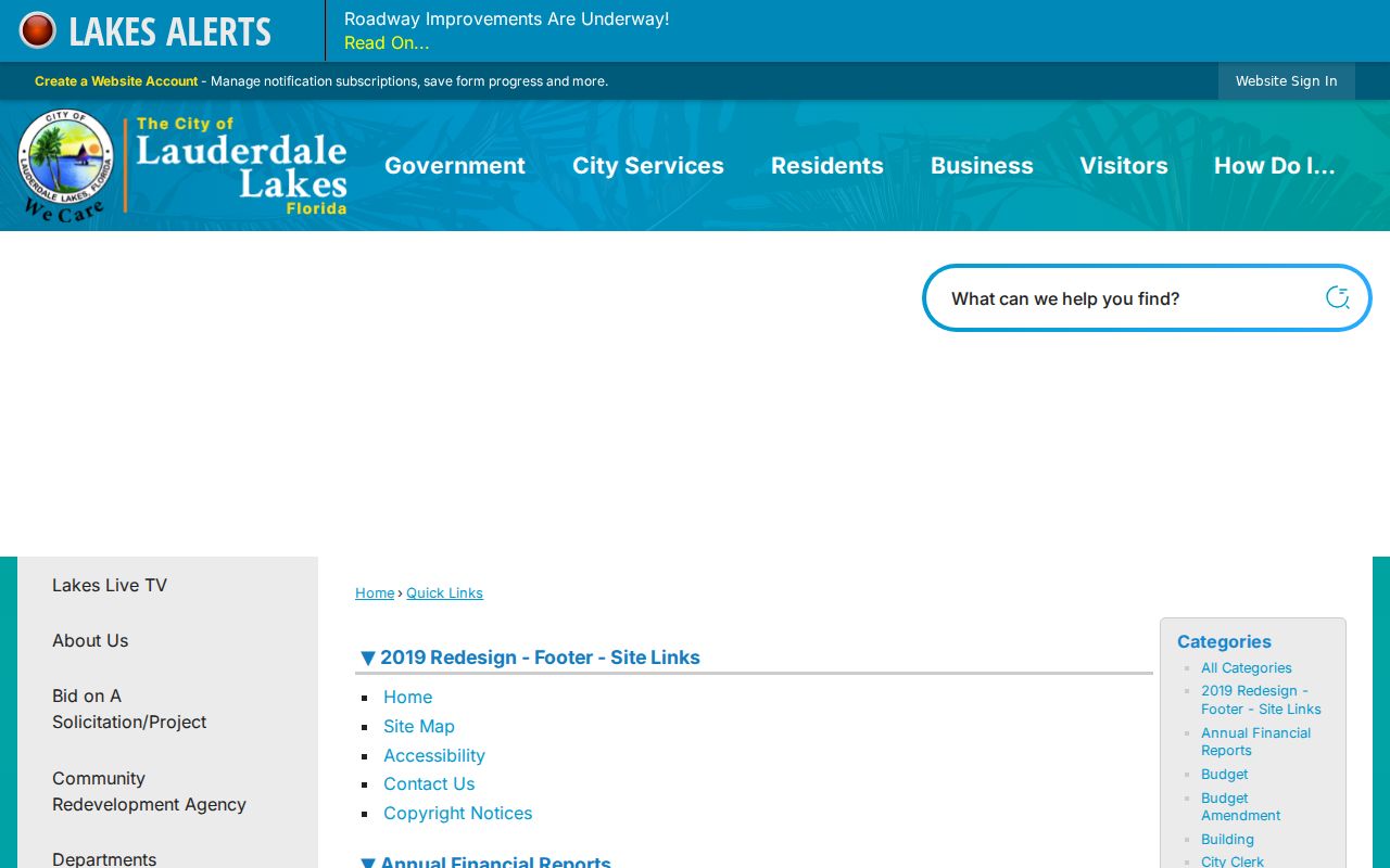
Ask for open and closed cases, attachments, and site plans within a bounded period. An applicant or contractor worked on a project; that role does not make the person a resident.
Planning Clues on Lauderdale Lakes Streets
Planning and Zoning adds municipal boundaries, land use, zoning, flood references, comprehensive plan material, applications, and active development details. This evidence explains what a site was approved for and when development activity occurred. It can also help separate a parcel inside Lauderdale Lakes from one that merely shares its postal routes.
The Lauderdale Lakes Planning and Zoning page shown below identifies the city's official planning resources. The office is at 3521 NW 43 Avenue, phone 954-535-2480, with posted hours from 8:00 a.m. to 3:30 p.m.
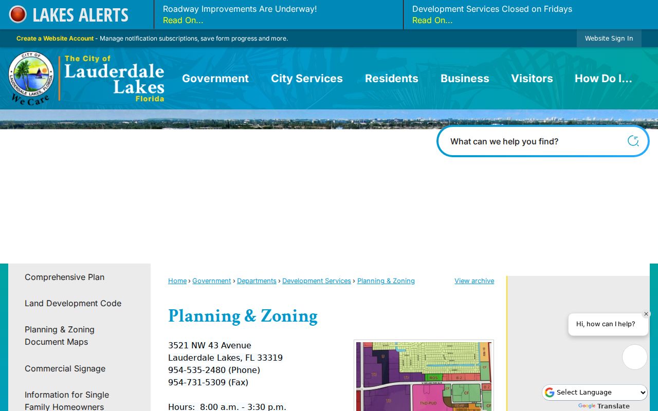
Zoning tells how land may be used, not who occupies it. Pair any planning name with a dated permit, parcel, deed, or other independent record.
Florida Voters by Lauderdale Lakes Street
Florida's personal voter status tool is not a by-address directory. It requires first name, last name, date of birth, and an acknowledgment, and it is intended for a voter checking their own registration. For broader lawful research, the Division of Elections publishes a monthly public extract, or the Broward Supervisor of Elections can answer a focused public-record request. Public data can be sorted by residence address after exempt records are removed.
Section 97.0585 protects Social Security and driver-license or state-ID numbers, the registration source, and copying of a signature. Address Confidentiality Program participants and qualifying protected professionals may be suppressed. Public voting history records participation in an election, never ballot choices. An active or inactive registration is not proof that a person currently occupies the address.
Use voter data as one dated layer. It lists registered voters, not minors, every adult, all occupants, or each parcel owner. Never try to reconstruct a protected address by combining sources.
Old Lauderdale Lakes Streets in Print
Broward County Library's Main Library Periodicals holds older telephone directories and local newspaper runs. Historical directories for Lauderdale Lakes are metropolitan Fort Lauderdale or Broward collections because the city incorporated in 1961. Exact volume years are not published as a complete online shelf list, so confirm a year with the catalog or staff. Do not assume a continuous Lauderdale Lakes-only series.
A reverse or criss-cross section orders entries by street, house number, and subscriber or occupant. Read its abbreviation key, record the entry as printed, and compare nearby editions. A new surname, “vacant,” or “new house” can bracket a change but not prove the exact move date. The Lauderdale Lakes city directory collections cover the historical shelf and household tracing method.
Phone subscribers can be owners, occupants, businesses, or one person within a larger household. Match the entry to the parcel's year built, permits, deed owner, census, newspaper, or obituary.
Lauderdale Lakes Grid and ZIP Trap
Numbered northwest streets and avenues make the city look simple on paper. Oakland Park Boulevard and State Road 7 are major corridors. Yet the city covers just 3.68 square miles and four shared ZIP Codes touch it: 33309, 33311, 33313, and 33319. Each extends beyond Lauderdale Lakes, and Fort Lauderdale is often the preferred postal city.
A street directory query must therefore confirm the municipality field on BCPA or GIS. City Hall itself uses Lauderdale Lakes, FL 33319, but that does not make every 33319 address part of the city. Lauderhill and other nearby areas share postal routes. A modern parcel may also predate incorporation, so older files can be cataloged under Broward rather than Lauderdale Lakes.
No researched source documents a citywide street renumbering. Use folio and legal description to bridge label differences rather than inventing one.
Limits of Lauderdale Lakes Street Records
No public street directory can show a complete household. The assessor names titled owners. Voter files omit unregistered and protected people. Permits name project roles. Reverse directories name subscribers or occupants for a dated edition. Renters, relatives, roommates, minors, and informal household members may be absent. Federal law restricts motor-vehicle address data, and no public utility-customer portal should be assumed.
Use the record trail for lawful personal purposes, such as property history, genealogy, civic research, or checking a seller's public claim. Do not use an address to follow, threaten, harass, intimidate, or expose anyone. If a field is redacted or protected, leave it unavailable. Public access is not permission for harmful contact.
Lawful use. Lauderdale Lakes address records must never be used to stalk, harass, intimidate, or reconstruct a protected person's location.
A careful result states exactly what the source proves: “titled owner on the current assessment roll,” “registered voter in the dated public extract,” or “subscriber in the named directory year.” It does not turn one role into a claim about every person who lives there.